![{[setting('site_name')]}](https://projxnews.com/uploads/setting/16983847711140531930.webp)


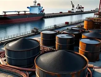
India is preparing for one of its largest offshore oil and gas exploration programmes in recent years, with survey vessels expected to begin extensive geological mapping across the Bay of Bengal and adjoining offshore regions.
The initiative, being undertaken by the Directorate General of Hydrocarbons, involves a multi-basin seismic survey aimed at identifying potential hydrocarbon reserves beneath the seabed. According to government plans, the survey will cover key sedimentary basins along the east coast, including the Bengal-Purnea, Mahanadi, Krishna-Godavari, Cauvery, and Andaman offshore regions.
The programme is expected to cover tens of thousands of line kilometres across these basins, making it one of the country’s most extensive offshore exploration exercises. The objective is to map geological formations and evaluate commercially viable crude oil and natural gas reserves.
Tenders for the project have been issued under the “2D Broadband Marine Seismic & Gravity-Magnetic Data Acquisition, Processing and Interpretation” programme, which involves advanced subsurface imaging and geological analysis of ocean floors.
The initiative is part of India’s broader strategy to strengthen domestic energy security, reduce dependence on energy imports, and expand upstream exploration activities in frontier offshore areas.
News by Rahul Yelligetti.