![{[setting('site_name')]}](https://projxnews.com/uploads/setting/16983847711140531930.webp)

The Uttar Pradesh government has approved the GIS-based Integrated Master Plan 2031 for Ghaziabad, Loni, and Modinagar/Muradnagar, aimed at driving sustainable urban development and enhancing regional connectivity.
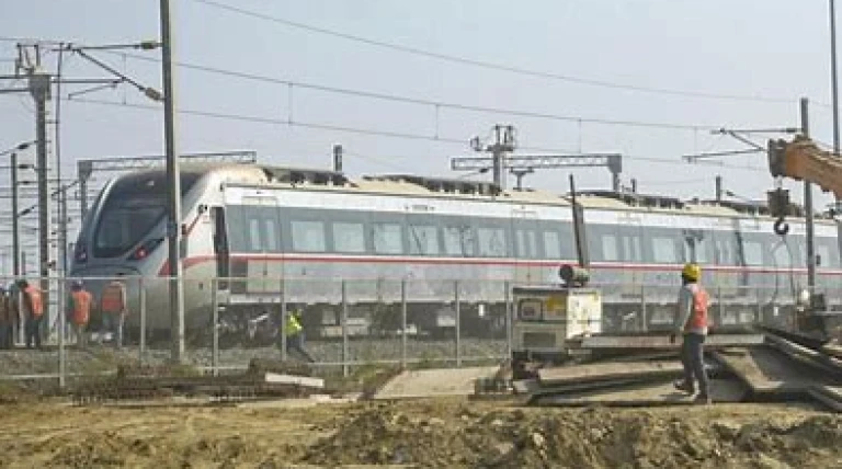
A key feature of the plan is the designation of 4,261.43 hectares as transit-oriented development (TOD) zones along the Regional Rapid Transit System (RRTS) corridor, and an additional 636.61 hectares along two Metro corridors. These TOD zones will support high-density, mixed-use development—residential, commercial, and industrial—encouraging compact, walkable neighborhoods well-integrated with public transit.
The Master Plan increases the total development area to 32,017.81 hectares, a 27.56% rise over the previous 2021 plan, and anticipates a projected population of 6.47 million.
Land use allocation includes:
Residential: 12,869.32 hectares, Commercial: 744 hectares, Industrial: 3,531.15 hectares, Mixed-use: 552.74 hectares
Recreational: 6,032.44 hectares, Transport and infrastructure: 4,120.95 hectares
In addition, two Special Development Areas are proposed: 510.56 hectares in Guldhar and 549.5 hectares in Duhai, both earmarked for vertical growth through increased floor area ratios (FAR).
The plan reflects a strategic vision to build a more resilient, connected, and livable urban region through data-driven planning and infrastructure integration.
News by Rahul Yelligetti.